Wide-area Litter Visualization System
Using Satellite Imagery
Amanogi, Corp.
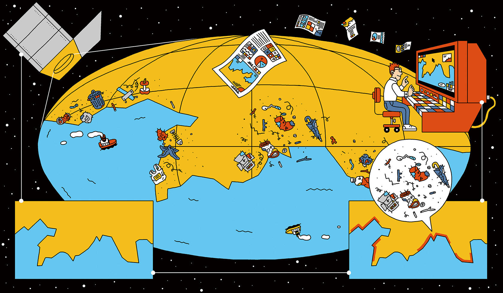
Service Vision
In order to take action against marine debris, it is first necessary to understand
the actual situation of marine debris. In particular, a wide-area survey is indispensable for studying
measures related to waste management at the municipal level. However, it is not realistic to do this
with raw manpower.
This service uses images taken by satellites to diagnose marine debris over a wide area without relying
on human maritime tactics. Detailed, long-term, and autonomous marine debris information is acquired
remotely and analyzed using AI to visualize debris drifting along a wide-area coastline on a 100-km
scale.
Service Features
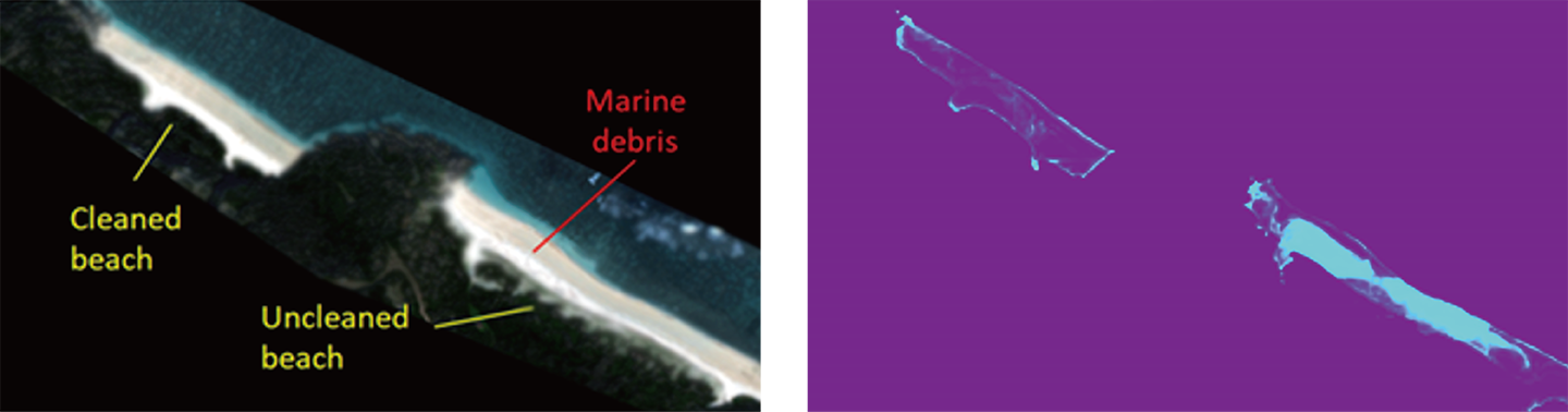
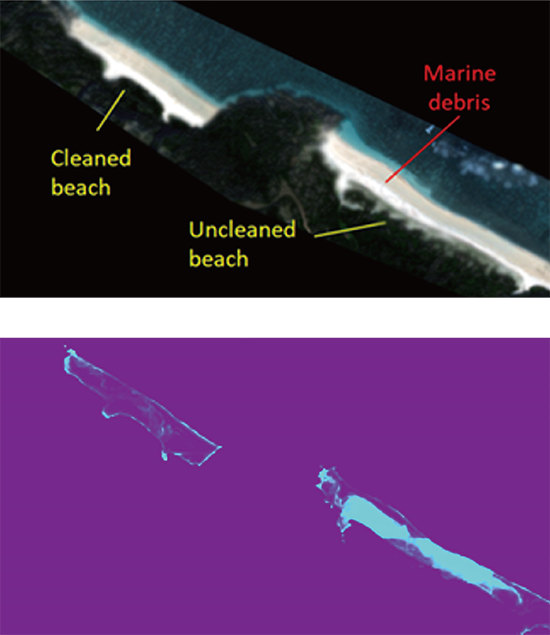
A satellite image of a beach and the identified the location of marine debris using AI analysis.
Using images taken by satellites, the system remotely and autonomously acquires marine debris information over a long period of time, and using AI-based analysis, visualizes debris drifting along a wide area coastline on a 100 km scale.
Service Overview

Satellite Image Collection
Satellite imagery of the area to be surveyed is collected. The satellite images used are updated daily to every few days, allowing for real-time situational awareness.

Image Analysis Using AI
Collected images are analyzed by an algorithm built using proprietary machine learning to visualize litter drift-prone areas along the entire coastline.

Preparation of Report
A report summarizing the location and condition of beach litter accumulation in the surveyed area will be prepared.
Optional
Direct survey of the coast using drones or by field investigation can be conducted as needed. Surveys
with historical satellite data, weather-related data, and litter cleanup history can also be combined.
Process and schedule


* The standard process takes
3 months from the start of discussion.
* Ongoing surveys can be conducted on an annual basis.
Cost
Standard Plan : 4,500,000 JPY
Survey coverage of up to 200 km /
1 implementation of satellite photography
Team
Amanogi, Corp.
Location: 1-1-13, Kitamagome, Ota-ku, Tokyo, Japan
Representative: Yu Kudo, CEO
Website: https://amanogi.space/
Business Description
●Design, development, prototyping and sales of precision machinery and equipment for space,
modeling, video and audio, etc.
●Research and development of data analysis and visualization technology, and development and sales
of software.
●Education business, etc.